Unlocking Beantown: Your Go-To Manual for Getting Around Boston
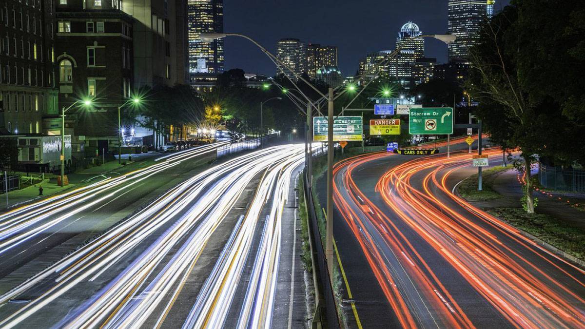
Navigate and enjoy Boston like a seasoned traveler! Learn how to get around the city using various transportation modes–from MBTA’s extensive network to hop-on and hop-off bus tours.
Are you thinking about visiting Boston? This city is a fantastic spot for tourists, and how to travel around Boston is super easy, even for first-timers.
Whether you want to hop onto the bus commuter rail for a city-wide tour or prefer to explore the city’s heart on foot, Boston has got all the options lined up for you. This guide will walk you through all the tickets you can purchase, handy commuter apps you can use to plan your trip, and various transportation modes available at your disposal.
Walking Around Boston
If you love to explore on foot, you’re in for a treat in Boston! This city is a walker’s dream, especially in downtown Boston. It’s so compact and super easy to stroll around. You can practically walk everywhere, exploring every nook and cranny at your own pace.
Additionally, Boston’s mostly flat terrain means you can wander around all day without getting worn out. It’s the perfect way to immerse yourself in the city’s vibrant history and culture, step by step.
Top Walking Tours in Boston
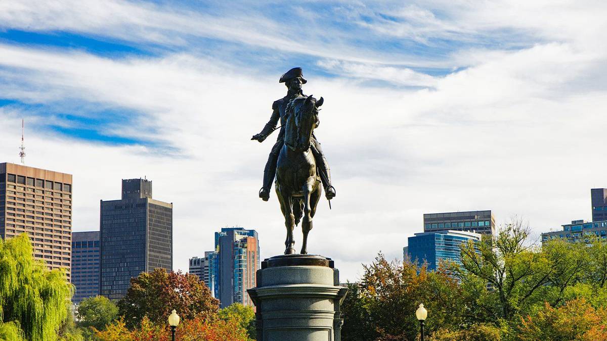
Walking tours are very popular in Boston. On top of the list is the iconic Freedom Trail Walking Tour. This 2.5-mile path winds through the city, letting you discover charming old buildings, serene churches, historic graveyards, and even a cool ship – all on foot.
The Boston North End Pizza – Walking Food Tour is an ideal choice for foodies. You will still visit historic Freedom Trail sites on foot. At the same time, you’ll stop by some of the best Italian restaurants in the country and the world!
Boston’s Bike Share Program
If you prefer two wheels over two feet, check out Boston’s bike share program. Mostly, renting a bike is done through a program called Bluebikes, which is the city’s official bike share system. It’s the go-to option for a green ride when getting around in Boston.
Get a head start by downloading the Bluebikes app. It’s your key to finding docking stations and checking bike availability. Plus, it’s how you’ll unlock and rent those two-wheelers.
Related Post: Boston Travel: Is Go Boston Pass Worth It?
While Bluebike hasn’t jumped on the e-bike bandwagon just yet (though they’re planning to in 2024), don’t worry. If you’re craving an electric boost, local businesses like Urban Adventours have got your back with e-bike rentals.
Pro tip: For Boston biking, always ride with the traffic flow, and make good use of those bike lanes. And remember, in most parts of Boston, especially the bustling business districts, biking on sidewalks is a no-go.
 Boston Subway: The “T”
Ready to explore Boston on a budget? The subway Boston, affectionately called The “T”, is your go-to. It’s hands-down the best way to get around Boston without burning a hole in your wallet. The T offers a rainbow of routes, each with its own color and unique destinations:
- Red Line: Buzzing with activity, the Red Line connects you to the busiest spots in the city.
- Orange Line: This line takes you to exciting places like TD Garden and Faneuil Hall Marketplace.
- Blue Line: Take the Blue Line to reach the historic Revere Beach, perfect for a day of relaxation by the ocean.
- Green Line: Looking for a scenic spot? The Green Line takes you near Charles River. Rent a kayak, paddle away, or just enjoy a peaceful picnic by the water.
- Silver Line: Need to catch a flight? The Silver Line SL1 is your direct link to Logan International Airport, stopping at all terminals.
CharlieCard: Unlimited Subway and Bus Travel
Make your travels smoother with the Boston transit pass for tourists. Grab a CharlieCard offering 1-day or 7-day unlimited travel options on subway and local bus routes.
You can snag these passes from vending machines in subway stations. They’re a lifesaver, offering big savings and sparing you the hassle of buying individual tickets.
 MBTA Commuter Rail
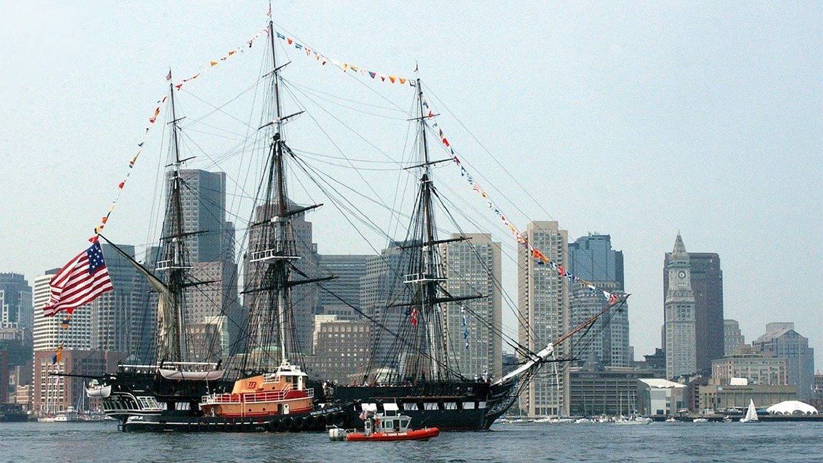
For those looking to explore beyond the city limits, the Massachusetts Bay Transportation Authority (MBTA) Commuter Rail is your golden ticket! It’s a key part of how to get around in Boston and its surrounding areas. Stretching across eastern Massachusetts and reaching into parts of Rhode Island, this rail system connects the region to the heart of Boston.
Whether you’re heading to quaint coastal towns or exploring diverse neighborhoods, the MBTA Commuter Rail makes it a breeze. It’s the ideal choice for covering longer distances, smoothly transporting you from North Station all the way to South Station and beyond.
And for those planning extensive travel, there’s a separate 1-day and 7-day pass for the commuter rail. While it’s a bit pricier than the CharlieCard, it’s totally worth it for the expansive coverage and convenience it offers. So, if you’re keen on discovering more than just the city’s core, this part of public transportation is your best bet.
MBTA Bus Service
Navigating Boston? The MBTA Bus Service is a go-to for both locals and visitors, making it an essential part of public transit in the city. With a handy CharlieCard, you’ve got a ticket to unlimited bus rides. But if you don’t have a CharlieCard, don’t worry. You can easily pay with cash or a card right on the bus.
Related Post: Boston Historical Sites: 21 Must-See Stops for History Buffs
The MBTA’s real-time bus tracking is available on their website, mbta.com. Checking this lets you know exactly when your bus will arrive, taking the guesswork out of your travel plans. Plus, their trip planner tool on the same site is super helpful for mapping out your commute.
If you’re more comfortable with Google Maps, it’s got your back too, offering reliable commute options whether you’re using the bus, subway, or commuter rail.
 Boston Hop-On Hop-Off Tour by Old Town Trolley Tours
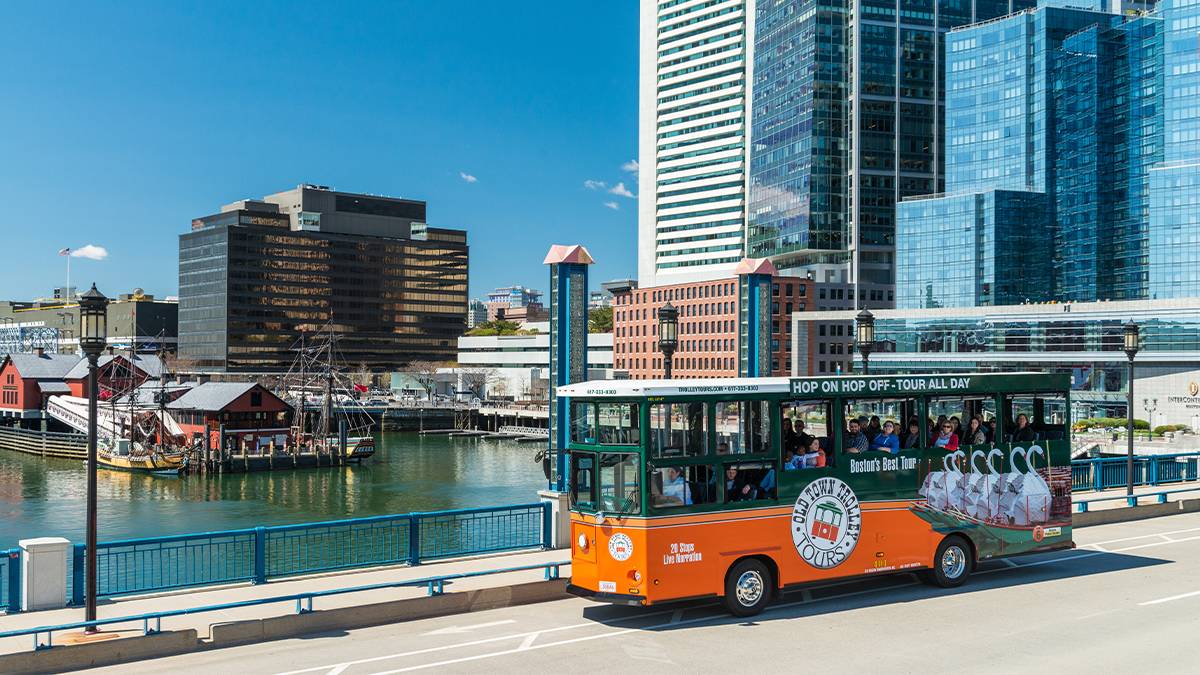
For a unique twist, why not try the Boston Hop-On Hop-Off Tour? It’s a fantastic way to familiarize yourself with the city. Hop on and off at your own pace, and enjoy live narration from knowledgeable tour guides. It’s a perfect introduction to Boston, setting you up nicely on your first day in the city before you venture off on your own.
Ride Sharing and Taxis
When it comes to getting around Boston, ride sharing is a fantastic way to see the city. It’s particularly great if you’re journeying with friends, as the costs reduce significantly when you split them amongst your group.
Uber and Lyft are the most common ride-sharing services in the city, and they’re as reliable as they come. So whether you’re darting from one historic site to another or simply getting back to your hotel after a day of exploration, all of it becomes quick and hassle-free with ride sharing.
Renting a Car
Renting a car is a great idea if you’re looking to explore beyond the city’s public transit system. It’s particularly handy for reaching those charming small towns, serene beaches, or hidden rural gems in New England. If you’re traveling with family or a group, a car gives you the flexibility and space needed, especially for handling luggage, strollers, or other essentials.
Related Post: Things to Do at Night in Boston: 24 Nightlife Adventures
For seamless navigation, use Google Maps to plan your routes and explore how to get around Boston and its surroundings. Conveniently, car rentals are available at Logan International Airport, where you can pick up and drop off your vehicle. If you’re flying out from a different airport, no problem – you can return your car there too.
Travel tip: Car rentals usually require a credit card deposit as security. But here’s a travel hack—some of the best hotels in Boston offer complimentary airport transfers, and some even provide free shuttles to nearby attractions, helping you cut down on travel costs.

Plan Your Boston Trip with Ease
Now armed with all the information you need to get around Boston, remember to set out your itinerary in advance. Make sure to check out discount tickets on Tripster for savings on your travel expenses. You can bundle up and save more by combining your hotel stay with attraction tickets too.
For the ultimate Boston experience, don’t miss out on the Go Boston All-Inclusive Pass and Go Boston Explorer Pass. Not only will you secure great savings, but it’ll give you entry to your pick of Boston attractions and tours. Finding ways to save while seeing the best of Boston—the ultimate win!
What Did We Miss?
Do you have a Boston navigation tip to share? Leave us a comment below!
 Boston Subway: The “T”
 MBTA Commuter Rail
 Boston Hop-On Hop-Off Tour by Old Town Trolley Tours