Le Conte Mountain – In Depth Guide to Epic Smoky Mountain Hiking
Conquer Mount Leconte’s summit and bring home the brag rights! Here’s everything you need to know about one of the most rewarding hikes in the Great Smoky Mountains.
If you’re reading about Mount Le Conte, chances are you already know a thing or two about this beautiful, mildly challenging Smoky Mountain hike. But if you’ve never hiked it and you’re planning to do so soon, read our first-timer’s guide to Mount Le Conte!
Follow along as we share the essential information to help you plan the best Mount Leconte hike. Read about Mount Le Conte elevation, Alum Cave trail to Mount Leconte distance, Mt Le Conte hike difficulty, and more.
A First Timer’s Guide to Hiking Mount Le Conte
What are the basic things I need to know about Mount Le Conte?
Many aspire to reach the summit of Mount Le Conte. After all, climbing all the way up to the third-highest peak in the Great Smoky Mountains National Park is a brag right in and of itself. However, hiking Mt Leconte comes with some challenges.
What’s the most challenging thing about hiking Mount Le Conte?
To reach the 6,593-foot summit, you’ll have to climb the Mt Leconte trail elevation gain of 2,763 feet and hike 11 miles (give or take) out and back if you take the most difficult trail. For a regular person with some hiking experience, that roundtrip distance takes around 6 to 9 hours of brisk walking.
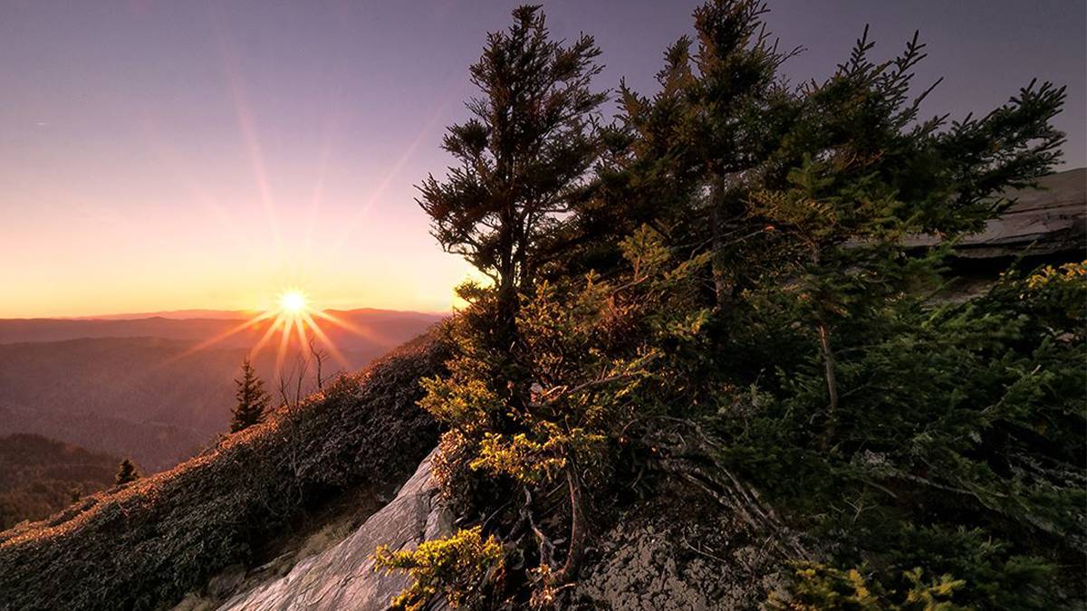
Plus, depending on the Mt Leconte temperature and weather, you could face icicles falling or extremely muddy and rocky trails. It’s a long way to the top and every season presents hiking challenges. But if you’ve seen the photos from hikers who’ve achieved this feat, you’ll know that the views from the summit are worth the hype.
What are the trails to Mount Le Conte Summit?
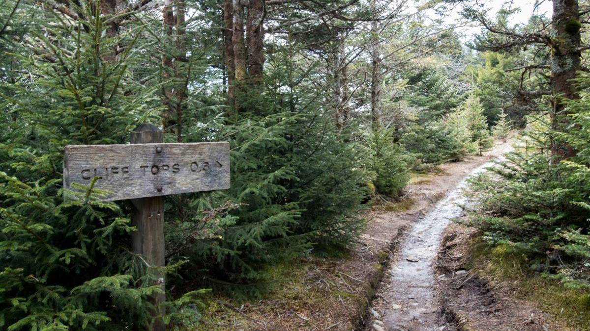
There are 6 Mount Leconte trails to reach the summit. Bullhead trail is the most challenging version of the hike, while the most popular (and easiest) is the Alum Cave trail.
How long is Alum Cave trail?
The Alum Cave Bluffs trail is approximately 5 miles roundtrip. There is no specific Alum Cave Trail address, but you will find this Mt Leconte trailhead just 12 miles south of Gatlinburg, Tennessee along Newfound Gap Road/US Hwy 441.
Related Post: Best Hikes in Great Smoky Mountains: 9 You Don’t Want to Miss
Don’t forget to grab a Mount Leconte trail map at the Sugarlands Visitor Center! The Mount Leconte Alum Cave trail includes bridges, streams, and the Alum Cave Bluffs (which the trail is named after). You will find these landmarks on the map.
What is the best month to hike Mount Le Conte?
A trip to the Great Smoky Mountains is a wonderful trip to nature year-round, and so is a Mt Le Conte hike.
If you want to catch the rosey rhododendrons in bloom, the best time to go is during the late spring and early summer months. Naturally, summer is the hottest and most crowded time of year at the Great Smokies.
If your ideal Mount Leconte weather is pleasantly chilly with occasional sun peeping through the canopy of old-growth forests, hike during the autumn months. At this time, you’ll also see the Great Smoky Mountains ablaze in yellow, orange, and red.
 What should I pack for Mount Le Conte?
 What should I pack for Mount Le Conte?
We always recommend hikers to pack light but balance this pro-tip with the knowledge that a trip to Mount Le Conte’s summit is going to be a full-day hike. Remember, the distance from Alum Cave to Mt Leconte can take 5 to 8 hours.
That being said, here are some of the things to pack for Mt Leconte hike:
- Mt Leconte trail map
- Energy-rich snacks
- Plenty of water
- Additional waterproof and windproof layers
- Bug spray
- Waterproof camera jacket (mountain weather is fickle; you’ll want to protect that precious cam)
Additionally, check out the Mt Leconte weather forecast before you go. It’s usually 15 degrees colder at the summit than in town.
Need more packing advice? Check out our Packing List for Pigeon Forge Trip – The Ultimate Checklist.
Can I stay overnight at Mount Le Conte?
 Can I stay overnight at Mount Le Conte?
We know. Once you reach the top and stare at the amazing view, you’ll want to stay at Mount Le Conte’s summit as long as possible. Imagine stargazing from high above where the city lights can’t reach you!
Sadly, you’re not allowed to stay overnight at Mount Le Conte’s summit.
So where can you stay?
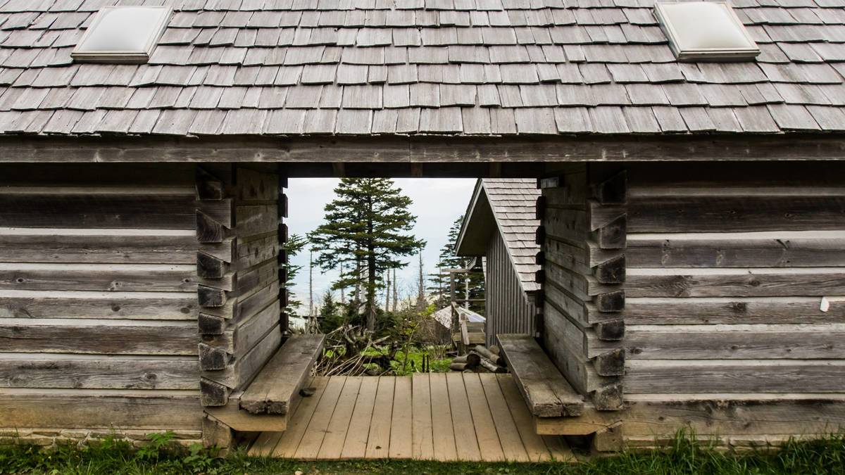
Mount Le Conte Lodge is the only inn located inside the Great Smoky Mountains National Park. This cozy inn has a capacity of 60 guests per night, so we recommend booking as soon as possible!
Alternatively, you can head back down and stay at a hotel near the Great Smoky Mountains National Park. All of these hotels offer electricity, showers, and modern amenities–none of which are available at Mount Le Conte Lodge:
Is there parking at Mount Le Conte?
All trailhead parking at the Great Smoky Mountains National Park is first-come first-served. You’ll be competing with hundreds of people for parking at any time of the year, so your best bet is to park at your hotel. It’s much easier to get a shuttle ride from downtown Gatlinburg to the Great Smoky Mountains.
Great Smoky Mountains Adventure Package
Le Conte Mountain is a bucket list hike in the Great Smoky Mountains National Park. The journey to the summit is a highlight of the trip for many, but if you have more time, we recommend planning a few days trip out of it.
There’s so much to explore in and around the Great Smokies. From full-day trails to Gatlinburg’s top-rated attractions, you won’t run out of things to add to your itinerary!
Ready to explore the Great Smokies?
A Great Smoky Mountains Adventure Package helps with planning the best activities and saving hard-earned bucks in the process. Bundle your choice of accommodation with attractions and tours, and even throw in tickets to see a Gatlinburg show! It’s going to be a grand adventure!
Which Trail in the Smokies is Your Favorite?
Leave us a comment below!